
Mountain Climbing Enters a New Era of Safety Through Satellite Prediction Systems
The world’s highest mountains, which have claimed thousands of lives since humans first attempted to reach their summits, are becoming measurably safer thanks to a constellation of satellite-based monitoring and prediction systems that provide climbers with information their predecessors could never have imagined.
Real-time weather forecasting calibrated specifically for high-altitude environments, satellite imagery that reveals crevasse fields and avalanche-prone slopes, and communication systems that maintain contact between climbers and support teams in the most remote locations on Earth are collectively transforming the risk calculus of mountaineering while preserving the adventure and physical challenge that draw climbers to extreme altitude.
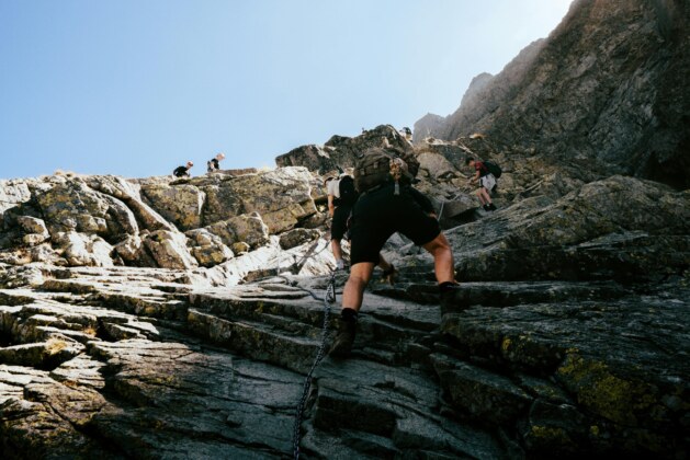
The single greatest killer in mountaineering has always been weather. Sudden storms that envelop high peaks with lethal combinations of wind, cold, and reduced visibility have been responsible for the majority of climbing fatalities throughout history.
The improvement in weather prediction for mountain environments over the past decade has been extraordinary, driven by weather modeling systems that incorporate satellite data, upper-atmosphere balloon measurements, and network observations from automated weather stations installed at high altitude. Current forecasts for major climbing routes provide hour-by-hour predictions of temperature, wind speed, precipitation, and visibility with accuracy rates that would have seemed miraculous to the generations of climbers who relied on barometric pressure readings and visible cloud formations to assess approaching weather.
Satellite imagery is being used to assess mountain terrain with a precision that eliminates some of the most dangerous unknowns in climbing. Synthetic aperture radar, which can penetrate cloud cover and image the surface regardless of lighting conditions, reveals changes in snowpack depth, the formation and evolution of crevasse fields, and the stability of ice formations that climbers must navigate. This information, updated frequently and made available through mobile applications that function via satellite communication, allows climbing teams to identify hazardous route sections and plan alternative approaches before committing to dangerous terrain.
Avalanche prediction, one of the most challenging problems in mountain safety science, has been revolutionized by the combination of satellite monitoring and machine learning. Systems that analyze snowpack structure, temperature profiles, wind loading patterns, and historical avalanche occurrence data can now assess the probability of avalanche activity on specific slopes with accuracy that significantly exceeds the estimates of experienced human observers. These predictions are delivered to climbers and expedition leaders in real time, enabling them to avoid high-risk areas during periods of elevated avalanche danger and to schedule movements through exposed terrain during windows of relative safety.
Communication technology has addressed the isolation that historically compounded the danger of mountain emergencies. Satellite communication devices now provide reliable voice and data connectivity from the summit of Mount Everest and other peaks where radio communication was previously impossible or unreliable. Injured or stranded climbers can transmit their precise location, medical condition, and equipment status to rescue coordinators, enabling more rapid and effective response than was possible when distress signals might not be received for hours or days.
Purists within the mountaineering community argue that the increasing availability of safety technology is eroding the essential character of climbing, which they define as a contest between human capability and natural forces in which the possibility of failure and even death is a defining element. This philosophical debate is unlikely to be resolved, but the practical reality is clear: climbers at all levels of experience and ability are using available technology to make informed decisions about risk, and the result is a measurable reduction in fatalities that preserves human life while maintaining the physical and psychological challenges that make mountaineering among the most demanding of all human pursuits.


Leave a comment